Dr Michael Macklin's careers have included academic philosopher, Senator for Queensland, UQ Director of Development, CEO Hall Chadwick Education and UNE Professor and Executive Dean of Arts, Humanities and Social Sciences. He has been a director of a number of companies and not-for-profit organizations, has served on a number of government bodies, published in academic journals and written a number of books both fiction and non-fiction on a range of topics.
The History Of Yeronga: The Start
The human history of Yeronga started with the arrival of the Indigenous people in the area about 50,000 years ago as the people made their way south after arriving in the north of the country [1]. However, this area was probably abandoned during the Last Glacial Maximum or Ice Age which peaked about 21,000 years ago [2]. When the seas levels started to rise again and the now Moreton Bay was formed, the water levels in the coastal rivers including the now Brisbane River subsequently rose on the three sides of a small hilly area that eventually became the Yeronga area. So it was that some 7,000 years ago this area was again repopulated [3].
The consensus seems to be that, at the time the British penal colony was established in 1824, the southern part of the now Brisbane area was occupied by the Yuggera people and that the Yerongpan clan lived in the lands around the now Oxley, Norman and Bulimba creeks. Given the extraordinary abundance of food and a mild climate, the population in this area would have been substantial.
The Yerongpan section of the river seems to have been a prime hunting area with meat and fish in abundance. This was a major breeding ground for rakali. If one adds in kangaroos, wallabies, koalas, bandicoots, echidnas, possums, parrots, brush turkeys, reptiles such as monitors, dragons and skinks, a wide range of fresh water fish and numerous edible insects then meat and fish were easily obtainable. In addition, there were plentiful supplies of vegetables included edible wattle, eucalypts and ferns, fruiting trees, shrubs and herbs, flowers and buds, roots, tubers, bulbs, seeds, croziers, fruiting vines, scramblers, grasses and reeds. With well over 150 different seasonal food sources that simply required harvesting and cooking, the local population were extremely well fed prior to the arrival of the colonists [4]. It is little wonder that this southern part of the Brisbane colony area was described by the Europeans in 1825 as a 'veritable Garden of Eden'.
Interestingly, some years later the Land Commissioner Stephen Simpson, while engaging in the usual lamentations concerning the lack of enthusiasm for work on the part of what he called the "local natives", nevertheless did go on to point out that they seem to "prefer the joyous life of the bush...whose abundance provided a day's food in only two hours' labour." [5].
The first Europeans to sight the area were Thomas Pamphlet, Richard Parson and John Finnegan. Lost at sea out of Sydney, they were shipwrecked on Moreton Island where they were looked after by the locals who shown them the entrance to a large river flowing into Moreton Bay and took them along its banks across Yeronga and as far as the Oxley Creek [6].
Meanwhile the Surveyor General, John Oxley, was looking for a site for a new penal colony. Oxley, sailing in the cutter "Mermaid" arrived in Moreton Bay and had a very lucky encounter for his survey as Barron Field recounts:
…we were all on the look-out when they approached; and to our surprise and satisfaction, when opposite the vessel, the man hailed us in English. The boat was immediately launched, and Messers, Oxley, Stirling and I went ashore in her. While approaching the beach the natives showed many signs of joy, dancing and embracing the white man, who was nearly as wild as they. He was perfectly naked, and covered all over with white and red paint, which the natives make use of. His name, it appeared, was Thomas Pamphlet [7].
Oxley was shown the river and rowed past the area. He judiciously named the river Brisbane in honour of the governor who employed him. Oxley's Field Books on 2rd December 1823 recount:
At half-past five, resumed the examination of the river. Landed on high bank starboard shore. Station 1st 122 - North 178° three-quarter mile to a brush same side, opposite all brush land (now Yeronga) [8].
The upshot of Oxley's report to Governor Brisbane in Sydney was the establishment of the new Moreton Bay penal colony of which the Yeronga area became a part.
[1] Ray Tobler, Adam Rohrlach, Julien Soubrier, Pere Bover, Bastien Llamas, Jonathan Tuke, Nigel Bean, Ali Abdullah-Highfold, Shane Agius, Amy O'Donoghue, Isabel O'Loughlin, Peter Sutton, Fran Zilio, Keryn Walshe, Alan N. Williams, Chris S. M. Turney, Matthew Williams, Stephen M. Richards, Robert J. Mitchell, Emma Kowal, John R. Stephen, Lesley Williams, Wolfgang Haak & Alan Cooper Aboriginal mitogenomes reveal 50,000 years of regionalism in Australia. Nature. Vol 544, August, 2017,pp.180–184.
[2] Alan N.Williams, Sean Ulm, Andrew R.Cook, Michelle C.Langley, Mark Collarde. Human refugia in Australia during the Last Glacial Maximum and Terminal Pleistocene: a geospatial analysis of the 25–12 ka Australian archaeological record: Journal of Archaeological Science Volume 40, Issue 12, December 2013, pp. 4612-4625.
[3] Lewis, S.E., et al., "Post-glacial sea-level changes around the Australian margin: a review", Quaternary Science Reviews (2012), http://dx.doi.org/10.1016/j.quascirev.2012.09.006.
[4] J. Ball and Peter Hiscock. The Moreton Regional Archaeological Project (MRAP) State 11: An Outline of Objectives and Methods. Anthropology & Sociology, University of Queensland. pp.4-24 Queensland Archaeological Research Vol. 5, 1988.
[5] Quoted in a report commissioned by the Diamantina Health Care Museum Association Inc entitled "Aboriginal History of the Princess Alexandra Hospital Site" by Dr. Ros Kidd, 2000.
[6] 'Narrative of Thomas Pamphlett' as taken down by John Uniacke. Reproduced in Steele, J G, The Explorers of the Moreton Bay district 1770-1830, University of Queensland Press, St Lucia, 1972: p.69.
[7] Field, B. (ed.) 'Narrative of Mr. Oxley's Expedition to Survey Port Curtis and Moreton Bay' Geographical Memoirs of New South Wales by Various Hands. John Murray, London, 1825 p. 54.
[8] 'Oxley's Field Books: 3rd December 1823'. Reproduced in Steele, J G, The Explorers of the Moreton Bay district 1770-1830, University of Queensland Press, St Lucia, 1972: p.112
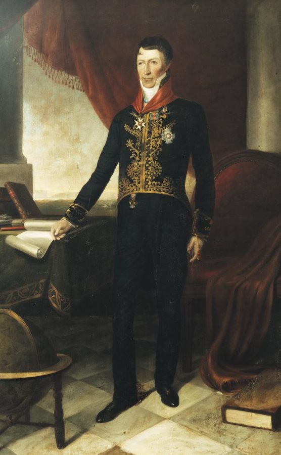
(This is the earliest map featuring part of Yeronga. The military chap is Governor Brisbane.)